


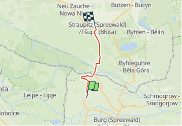

6,9 km | 7,1 km-effort

Tous les sentiers balisés d’Europe GUIDE+


Aplicación GPS de excursión GRATIS
 SityTrail
IGN / Institutos geográficos
SityTrail World
El mundo es suyo
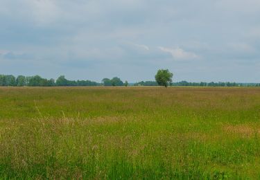
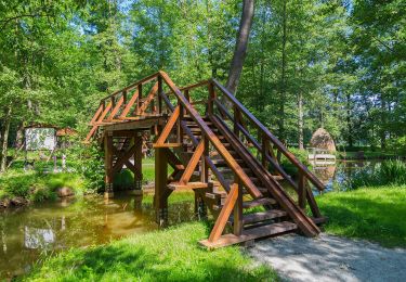
Ruta A pie de 8,7 km a descubrir en Brandemburgo, Spree-Neiße, Burg (Spreewald). Esta ruta ha sido propuesta por SityTrail - itinéraires balisés pédestres.
Symbol: horizontaler grüner Balken auf weißem Grund
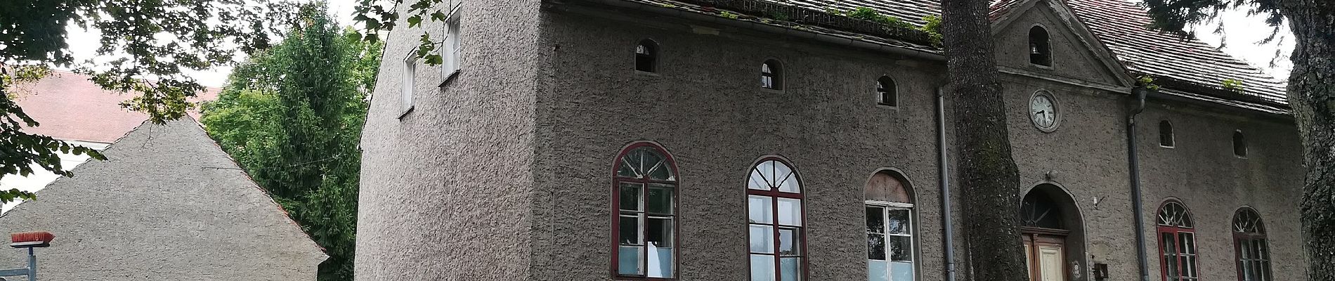
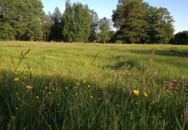
 - Wanderweg-Straupitz-Buschmühle-Burg... - Photo 1")
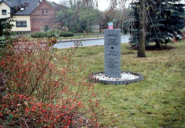
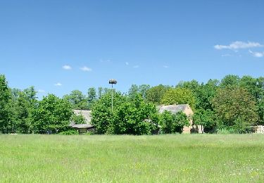
 - Wanderweg-Straupitz-Buschmühle-Burg... - Photo 2")
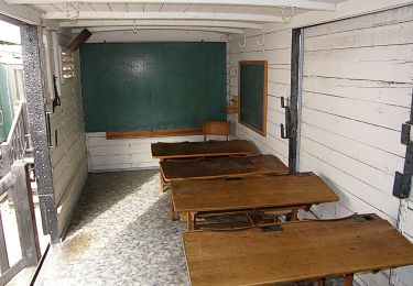
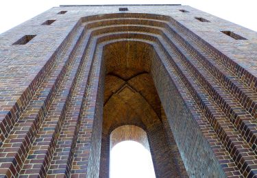
 - Wanderweg-Straupitz-Buschmühle-Burg... - Photo 3")
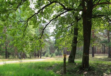
 - Wanderweg-Straupitz-Buschmühle-Burg... - Photo 4")
 - Wanderweg-Straupitz-Buschmühle-Burg... - Photo 5")
 - Wanderweg-Straupitz-Buschmühle-Burg... - Photo 6")
 - Wanderweg-Straupitz-Buschmühle-Burg... - Photo 7")
 - Wanderweg-Straupitz-Buschmühle-Burg... - Photo 8")
 - Wanderweg-Straupitz-Buschmühle-Burg... - Photo 9")
 - Wanderweg-Straupitz-Buschmühle-Burg... - Photo 10")
A pie
A pie
A pie
A pie
A pie
A pie
A pie
A pie
A pie